![]()
Cartographic and Architectural Records at the National Archives in College Park, MD
Research Online
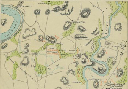
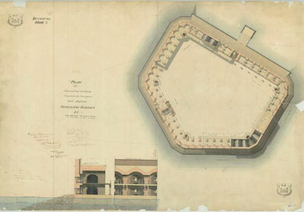
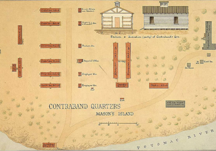
 You can search the National Archives Catalog to find descriptions and digitized images of historical maps and cartographic data files as well as documents and photographs related to geography.
View all:


Topics