![]()
Aerial Photography
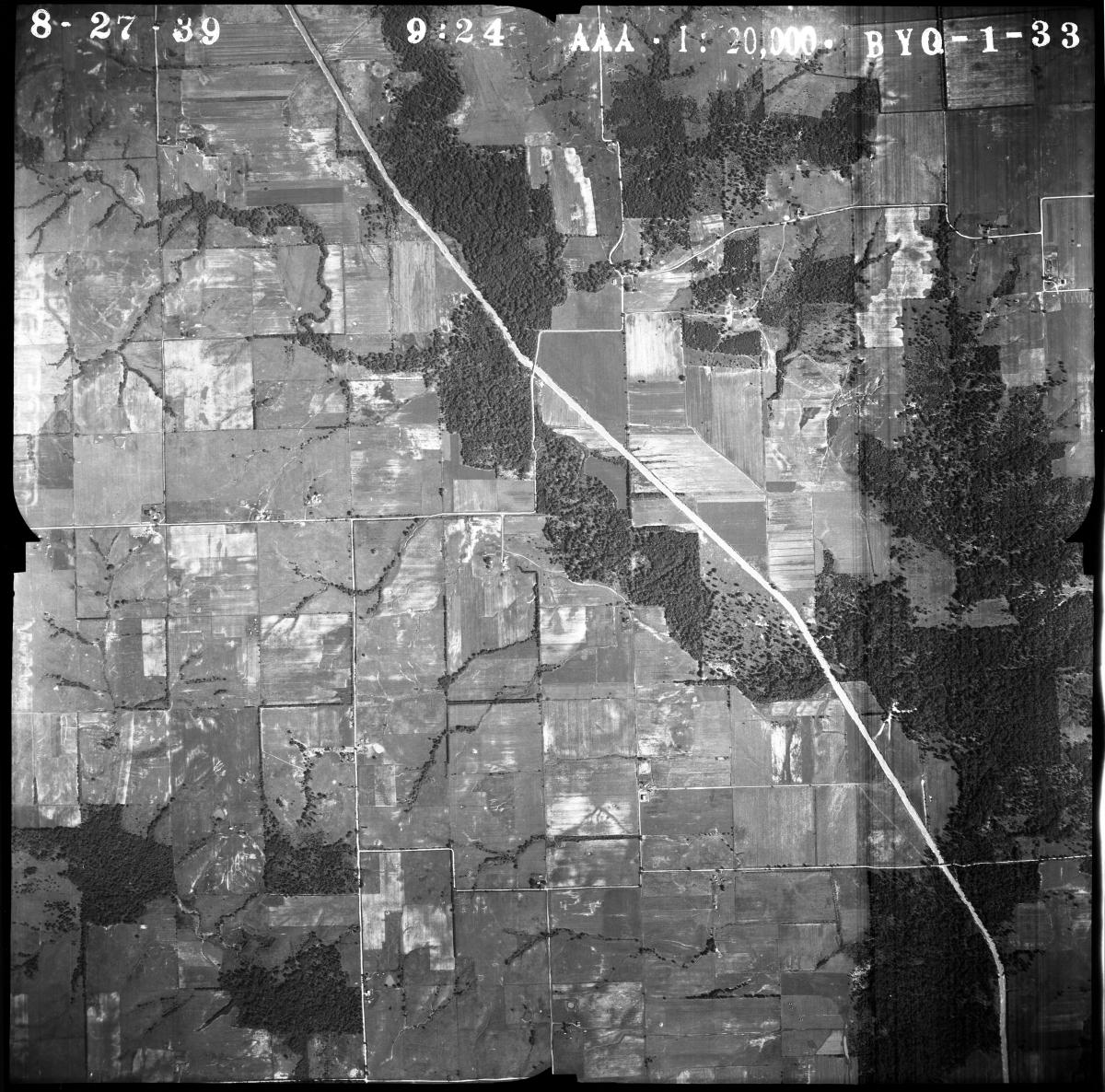
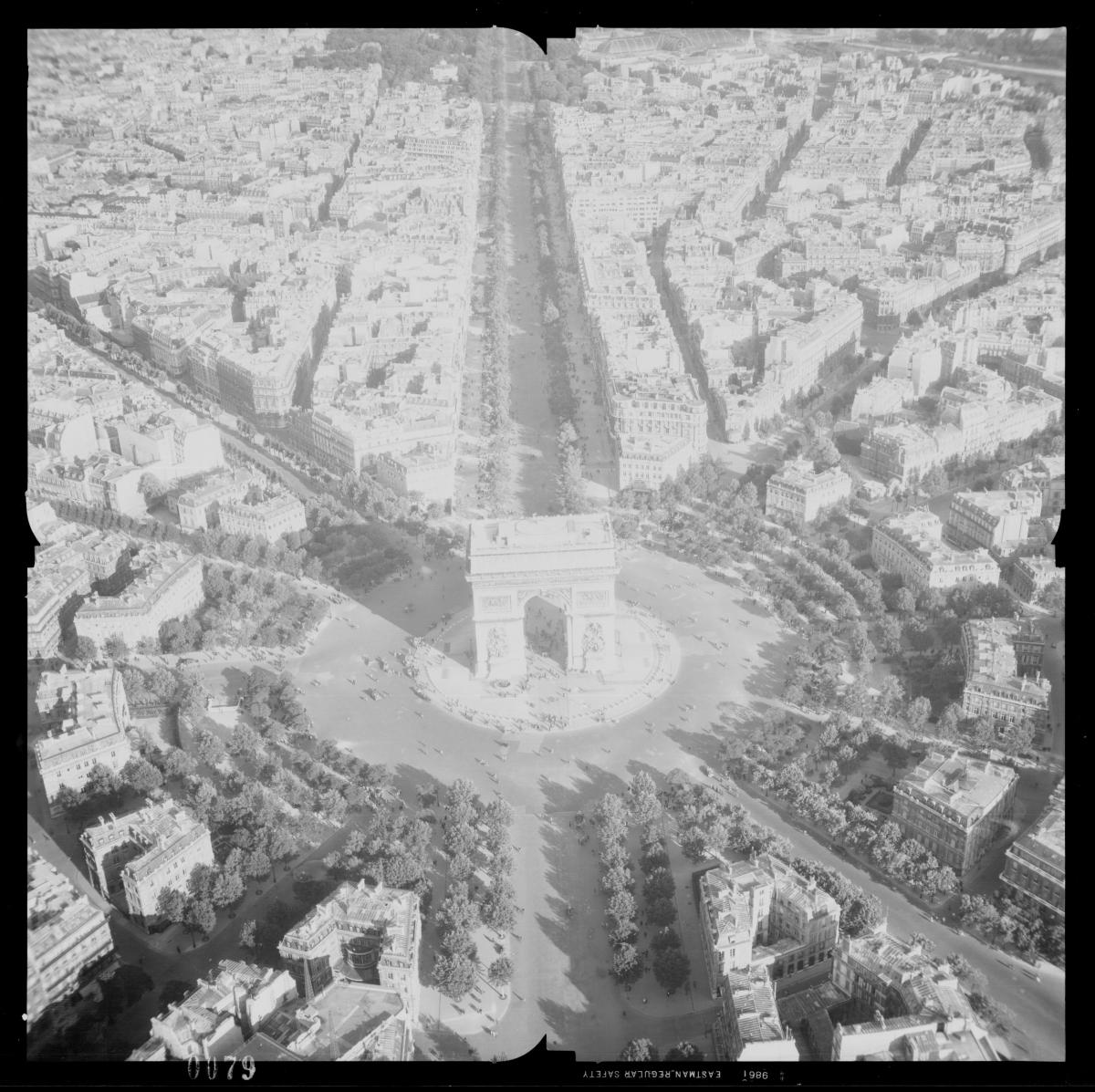
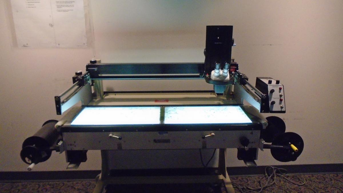
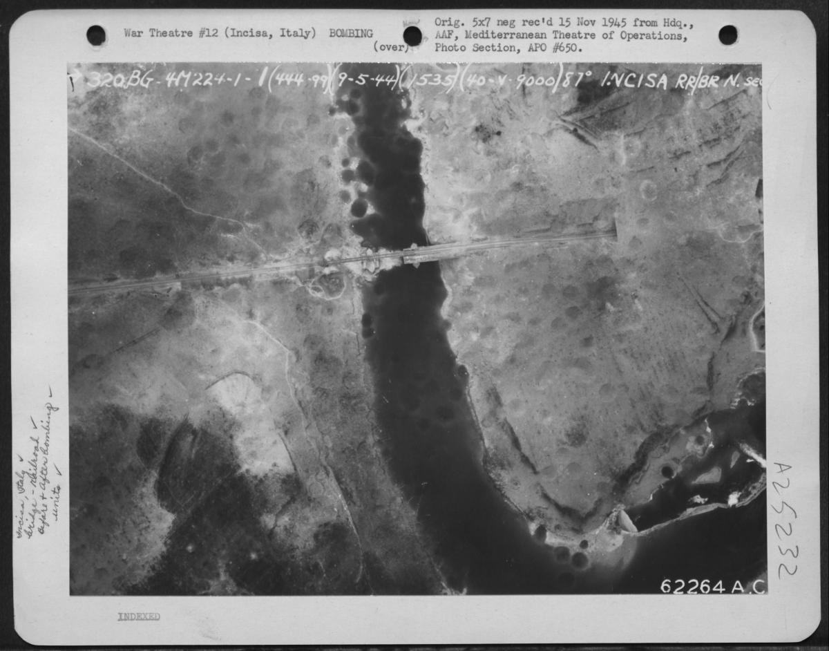
The National Archives holds over 35,000,000 aerial photographs produced mostly by Federal Agencies. These records date from 1918-2011, covering both domestic and foreign sites. The vast majority of these aerial photographs are held by the Cartographic Branch, spread across various Record Groups and series.
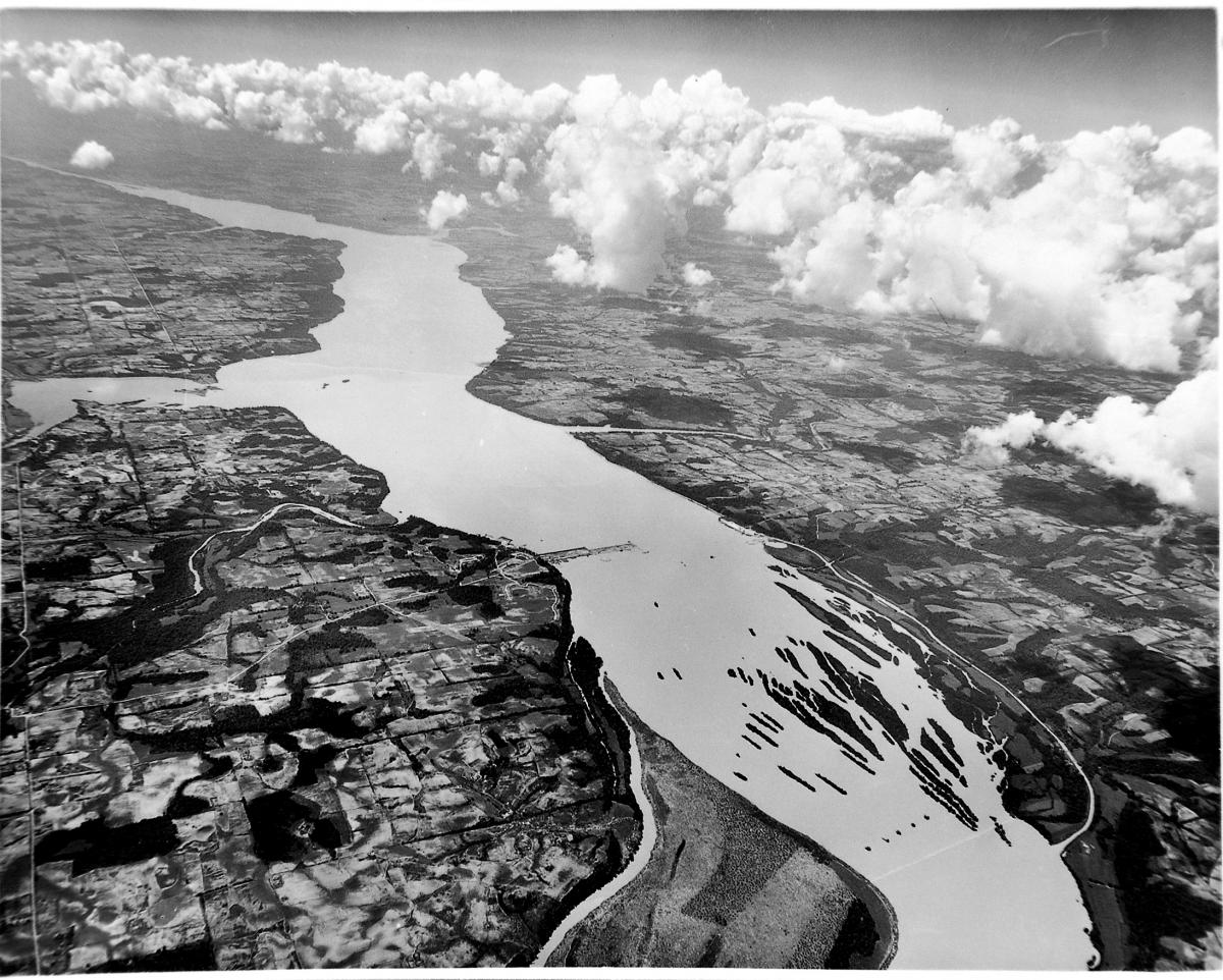
Aerial photography became an important part of the mapmaking process in the twentieth century. Aerial photographs provide a straightforward depiction of the physical and cultural landscape of an area at a given time. When skillfully interpreted, these aerial images supply geographers, historians, ecologists, geologists, urban planners, archaeologists, and other professionals with a pictorial basis often critical to their studies. Increasingly, members of the legal profession have used aerial photography in the settlement of cases involving property disputes, riparian rights, and transportation rights-of-way. Recently, genealogists have used aerial photography to identify and locate ancestral sites.
What are you researching?

Other Resources
USGS Earth Resources Observation and Science (EROS) Center
National Collection of Aerial Photography, Scotland
Geospatial Enterprise Operations (GEO)